


9,5 km | 20 km-effort


Usuario


Aplicación GPS de excursión GRATIS
 SityTrail
IGN / Institutos geográficos
SityTrail World
El mundo es suyo
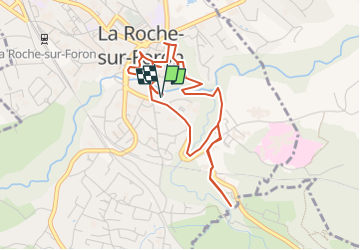
Ruta Senderismo de 4,6 km a descubrir en Auvergne-Rhône-Alpes, Alta Saboya, La Roche-sur-Foron. Esta ruta ha sido propuesta por COMAN.
Découverte du Château jusqu’à la bénite fontaine en passant dans les méandres de la ville
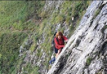
Senderismo
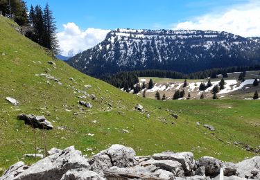
Senderismo

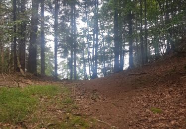
Senderismo
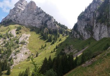
Senderismo
Senderismo
Senderismo
Senderismo
Senderismo
Senderismo